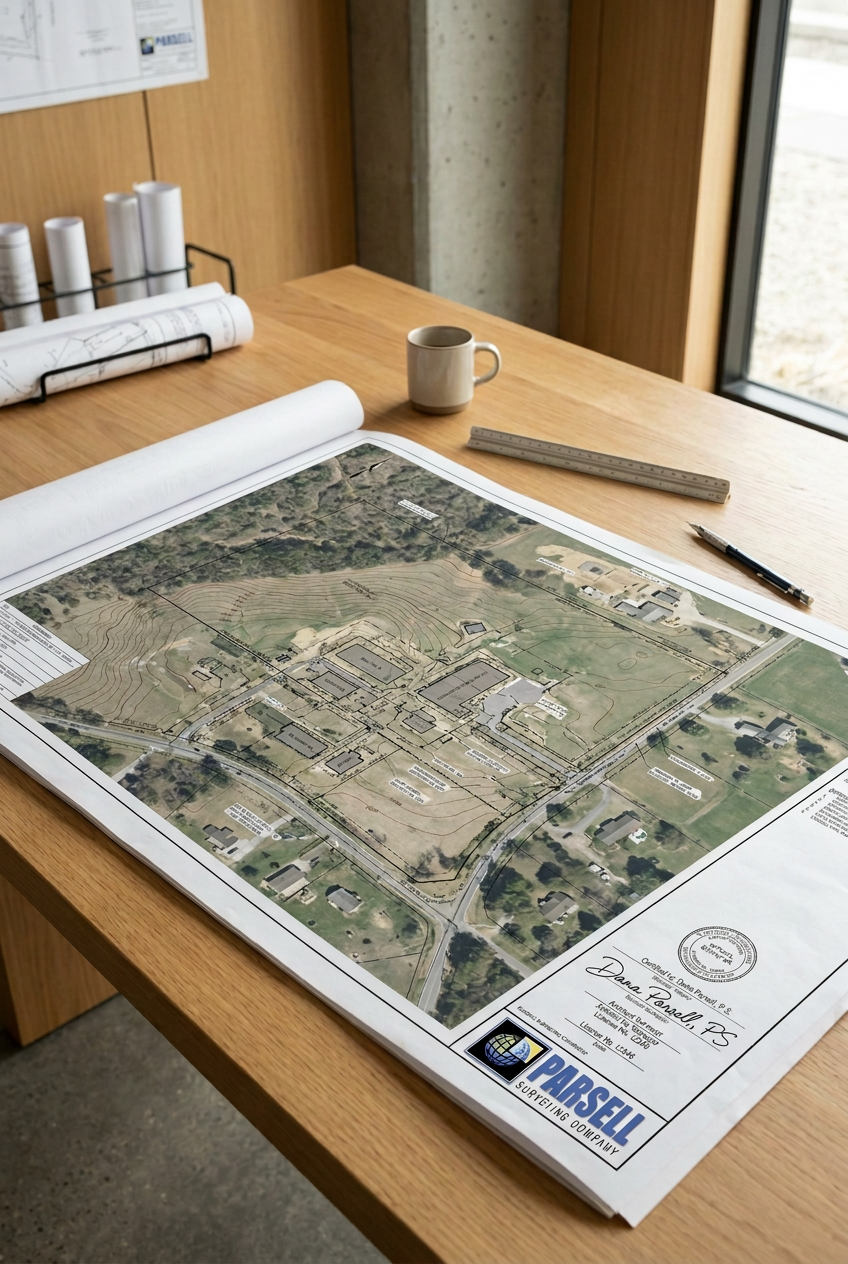
Certified Federal Surveyor (CFedS) 1846
Ohio Professional Surveyor S-7931
Indiana Professional Surveyor LS21700008
North Carolina Professional Land Surveyor L-5251
Iowa Professional Land Surveyor P27928
Georgia Land Surveyor LS003646
Florida Professional Surveyor and Mapper LS7507
New York Land Surveyor 50988
Pennsylvania Land Surveyor SU075489
Tennessee Land Surveyor 3423
Nevada Professional Land Surveyor 31329
Arizona Land Surveyor 82741
Wisconsin Professional Land Surveyor 4065-8
Louisiana Professional Land Surveyor PLS.0005413
New Jersey Land Surveyor 24GS04336700
West Virginia Land Surveyor 2453
Massachusetts Land Surveyor 58845
South Carolina Land Surveyor 44824
Montana Professional Land Surveyor PEL-LS-LIC-107905
Michigan Professional Surveyor 4001051483
Washington Professional Land Surveyor 25012839
Illinois Professional Land Surveyor 35004016
Texas Registered Professional Land Surveyor 6985
New Mexico Professional Surveyor 27512
North Dakota Professional Land Surveyor LS-30148
Oregon Professional Land Surveyor 106463PLS
Idaho Professional Land Surveyor 8371052
South Dakota Registered Land Surveyor 16575
Colorado Professional Land Surveyor PLS.0038925
Missouri Professional Land Surveyor 2021030204
Alabama Professional Land Surveyor PLS50995
Wyoming Land Surveyor 19338
Connecticut Land Surveyor LSX.0070405
Kansas Professional Surveyor PS1704
Utah Professional Land Surveyor 13665523-2201
USDOT FAA sUAS Pilot #4380174
Certified Federal Surveyor (CFedS) 1846 Ohio Professional Surveyor S-7931 Indiana Professional Surveyor LS21700008 North Carolina Professional Land Surveyor L-5251 Iowa Professional Land Surveyor P27928 Georgia Land Surveyor LS003646 Florida Professional Surveyor and Mapper LS7507 New York Land Surveyor 50988 Pennsylvania Land Surveyor SU075489 Tennessee Land Surveyor 3423 Nevada Professional Land Surveyor 31329 Arizona Land Surveyor 82741 Wisconsin Professional Land Surveyor 4065-8 Louisiana Professional Land Surveyor PLS.0005413 New Jersey Land Surveyor 24GS04336700 West Virginia Land Surveyor 2453 Massachusetts Land Surveyor 58845 South Carolina Land Surveyor 44824 Montana Professional Land Surveyor PEL-LS-LIC-107905 Michigan Professional Surveyor 4001051483 Washington Professional Land Surveyor 25012839 Illinois Professional Land Surveyor 35004016 Texas Registered Professional Land Surveyor 6985 New Mexico Professional Surveyor 27512 North Dakota Professional Land Surveyor LS-30148 Oregon Professional Land Surveyor 106463PLS Idaho Professional Land Surveyor 8371052 South Dakota Registered Land Surveyor 16575 Colorado Professional Land Surveyor PLS.0038925 Missouri Professional Land Surveyor 2021030204 Alabama Professional Land Surveyor PLS50995 Wyoming Land Surveyor 19338 Connecticut Land Surveyor LSX.0070405 Kansas Professional Surveyor PS1704 Utah Professional Land Surveyor 13665523-2201 USDOT FAA sUAS Pilot #4380174
Surveying Solutions Focused on Client Experience
Parsell Surveying Company (PSC) was organized in 1998 by Dana A. Parsell. Mr. Parsell earned a Bachelor of Science in Surveying from Ohio State University’s College of Engineering. He is a Certified Federal Surveyor, he is a licensed surveyor in 35 states, and he has extensive experience assisting Clients which include Federal/State/Local Agencies, Major Utility Operators, Title Agencies, Land Agents, Contractors, Engineering & Surveying firms, Architects, Land Owners, Developers, and other valued parties throughout the United States.
Parsell Surveying Company is committed to delivering the most professional surveying an mapping services available to our Clients. We take pride in exceeding the Standards of Accuracy as a means to achieve success for each project.
Whether the project is a property survey for a new residential fence or construction layout of a new highway, Parsell Surveying Company is focused on providing an exceptional Client experience through prompt response, clear communication, efficient project performance, and professional project delivery.
Each project is managed directly by a licensed Professional Surveyor overseeing the project.
We understand most requests are time-sensitive. Please fill-out and submit the SURVEY REQUEST FORM to initiate the response so we can better serve your request. PSC is a team of professionals surveyors often working on restricted sites or projects. Please call 419.429.9854 and leave a detailed voice message. We will contact you within 24 hours to discuss your request.

Property Surveys
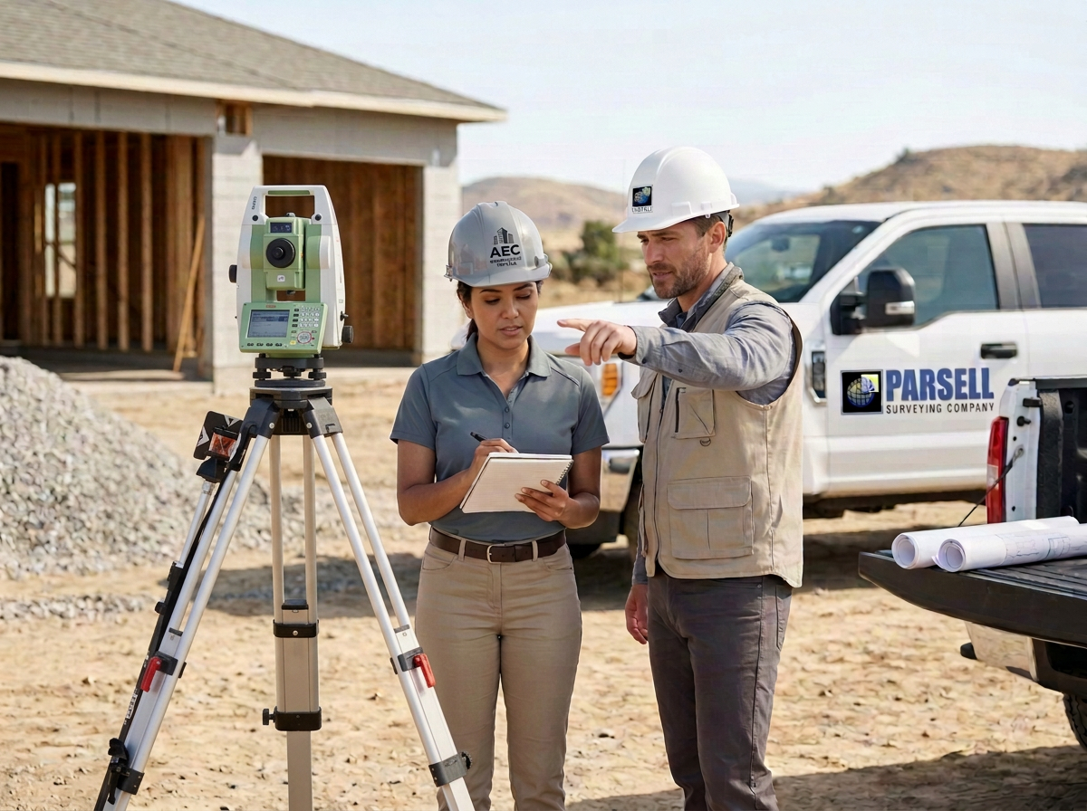
From Lot Surveys to Public Land Survey System (PLSS) Boundary Retracement Surveys to Subdivision Plats to Easement Plats, every survey requires the research, due dilligence, and attention to detail that impacts the historical preservation of land rights. Here are a few types of Property Surveys:
Original Boundary Surveys (Parcel Split) with New Legal Descriptions
Retracement Boundary Surveys
Lot Surveys
PLSS Section Corner Recordation
ALTA/NSPS Land Title Surveys
Major/Minor Subdivision Platting
Mortgage Location Certification
Easement Plats
Expert Witness Services
ALTA/NSPS Land Title Surveys have historically been known as the ‘Cadillac of Surveys”, but at Parsell Surveying Company we believe a quaility survey identifying the limits of your property should not be a Luxury item.
Contact Parsell Surveying Company to assist on your next project.
Construction Layout
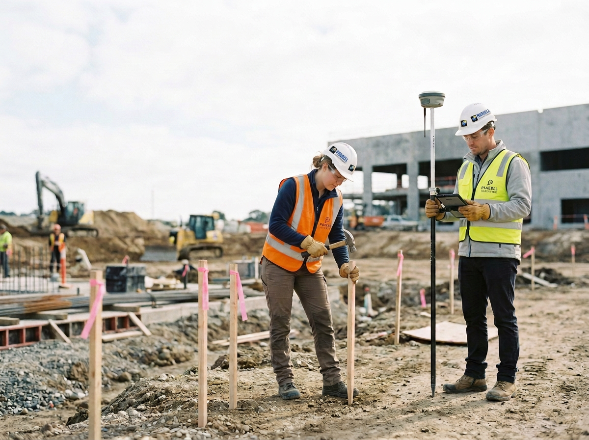
Construction Layout is a critical task necessary for a successful construction project. At Parsell Surveying Company (PSC), we team with utility operators, agencies, municipalities, developers, contractors, engineers, architects, and other survey teams to perform the requested staking start to finish…from initial Limit of Disturbance (LOD), site improvements, site grading, through as-built certification.
PSC’s Quality Assurance & Quality Control survey methods use advanced technologies with time-tested industry standards together with tailored strategies that extend facility lifespan while demonstrating full code compliance.
Here are a few types of Construction Layout Services Parsell Surveying Company can assist on your next project:
Site Development
Residential, Commercial, and Industrial
Utilities
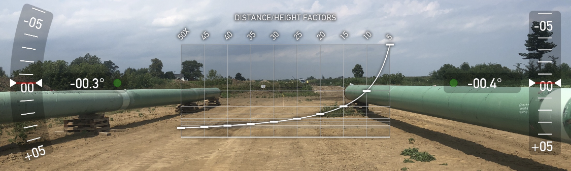
Oil & Natural Gas Pipeline Surveys
Upstream
Midstream
Downstream
Electric Transmission and facilities
Solar ~ Large-Scale Utility facilities
Waterlines
Storm Sewers, Culverts, Weirs, and Inlets/Outlets
Sanitary Sewers, Force Mains, and Pump Stations
Fiber Optic facilitites
Streets and Highways
Curb & Gutter, Roadways, Runways, Aprons, Parking and Pavement
Includes Cul-De-Sacs, Roundabouts, and modern transportation design
Buildings & Structures
Pads, Corners, Columns, Anchor Bolts, Crane Rails, & Building Improvements
Grading
Earthwork, Pads, Detention/Retention Ponds, and Retaining Walls
Other Critical Infrastructure Layout
Environmental Restoration
Miscellaneous Site Improvements
Advanced Survey & Mapping
Parsell Surveying Company believes all successful design projects start with quality survey data and an accurate model.
Parsell Surveying Company adds value to your project by reviewing each proposal and developing a survey plan to fit the right tools, expertise, and approach to the project. Here are a few examples of our advanced surveying solutions:
GPS/GNSS Geodetic Control Networks
Geodetic Monitoring Programs
Depth of Cover
Volumetric Surveys
Small-Scale and Large-Scale Mapping
Aerial Control Targets (PID’s)
Vertical Control Networks
Hydrographic Surveys
Robotic Topographic Mapping (Field to Finish)
Airborne LiDAR
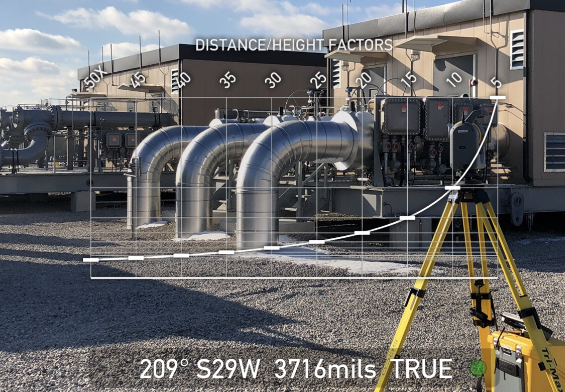
sUAS - FAA & NDAA Compliant
Rectified, Digital Orthophotos
Terrestrial LiDAR
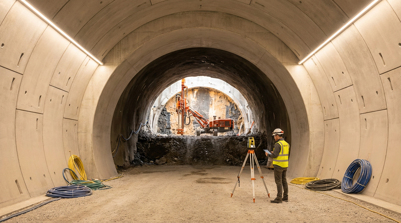
Facilities, Site Developments, Tunnels, Pavement Studies
Performed Safely Outside the Flow of Traffic
Mobile LiDAR
Highways and Utility Corridors
Digital Terrain Modeling (DTM)
Machine Control
Scan to BIM (Revit or other platform)
Advanced Civil-Survey Drafting and Support
Survey Project Management Services

Successful Projects Start Here!
Submit the Survey Request Form to connect with a licensed surveyor who will outline actionable next steps and coordinate a detailed proposal.